
Mobile ‘location’ data could help guide COVID-19 social distancing measures
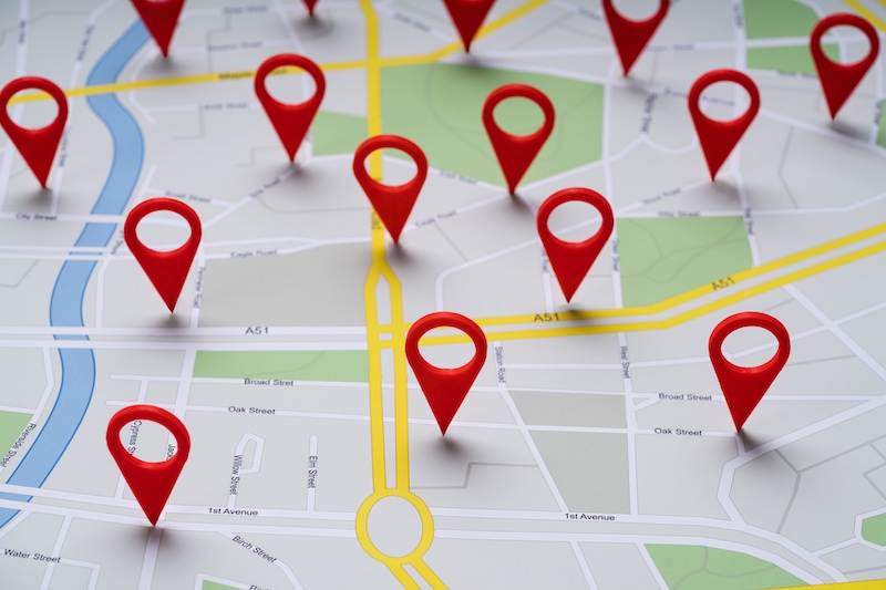
How well are quarantines and social distancing working to slow the COVID-19 pandemic? When is it safe for us to return to school or work? The answers could lie, in part, in the “location” data that companies like Google collect from us every day.
Last week, a group of epidemiologists, public health experts, and data scientists appealed to tech companies to provide location data for the public good. In a letter in the journal Science, they argue that tracking people’s actual whereabouts and distance from one another — in near real time — could shed better light on the spread of COVID-19 and inform public health efforts to combat it.
Each time we use Google Maps, check in at a venue on Facebook, or even hook up to Wi-Fi, we’re revealing our location, which can be mapped in astonishing geographic detail. Similarly, many apps, if we click to accept their terms, gain access to our location. Already, companies have been providing location data to law enforcement and to marketers wanting to create targeted ads.
“We’re saying, ‘we know you’re doing this, so wouldn’t it be nice to use it for the public good?’” says Mauricio Santillana, PhD, director of the Machine Intelligence Lab at Boston Children’s Hospital and a co-signer on the letter. “We can see how well people observe or do not observe shelter-in-place recommendations and see what strategies work and don’t work.”
Tapping location data for public benefit
Google has already indicated its willingness to share some of its mobility data for selected locations, Santillana says. Meanwhile, a private company has already utilized U.S. cellphone location data to launch a “Social Distancing Scoreboard.” South Korea, Italy, and Israel have already been using mobile phone location data to help determine how the virus spreads whether people are obeying quarantines. And in a separate study involving Boston Children’s, also published in Science, mobility data from the Chinese tech company Baidu helped show that interventions substantially mitigated the spread of COVID-19 in China.
Santillana, who is also a member of Boston Children’s Computational Health Informatics Program (CHIP), acknowledges that there are potential privacy issues in tapping people’s location data. He hopes the letter to Science will spur an open discussion around safeguards.
“What we’re trying to find is the right balance between privacy and usefulness for social good,” he says. “We have been able to get to that common ground before with other companies and projects. The road has been paved.”
Now, as population health is weighed against the benefits of restarting the economy, the data could help inform when it’s safe to stop social distancing.
“If and when we manage to decrease coronavirus transmission and control traffic to hospitals, the question will be, ‘what happens if we go back to normal activities?’” Santillana says. “If too soon, transmission will unfortunately pick up again. So we need to go back to normal in a very careful way, informed by monitoring.”
More about Boston Children’s Hospital’s response to COVID-19 and a new citizen science project, COVID Near You, that’s helping track the pandemic.
Related Posts :
-

Model enables study of age-specific responses to COVID mRNA vaccines in a dish
mRNA vaccines clearly saved lives during the COVID-19 pandemic, but several studies suggest that older people had a somewhat reduced ...
-
New insight into the effects of PPIs in children
Proton-pump inhibitors (PPIs) are frequently prescribed to suppress stomach acid in patients with gastroesophageal reflux disease (GERD). Prescribing rates of ...
-
Creating the next generation of mRNA vaccines
During the COVID-19 pandemic, mRNA vaccines came to the rescue, developed in record time and saving lives worldwide. Researchers in ...
-
Firearm suicides in children and youth: A state-by-state look
At a time when mental health problems are skyrocketing, a new study provides one of the most comprehensive state-by-state accountings ...